
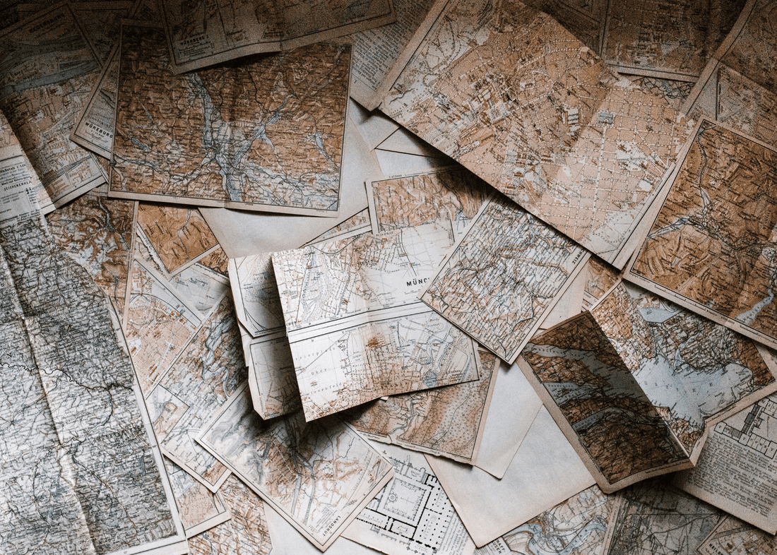
Never Be Lost Again: Why You Should Still Rely on Paper Maps
Cynthia KolfPicture this: you're fleeing a wildfire with your phone dead and no way to charge it. GPS is gone, but you still need to navigate around road closures and find alternate routes.
This is when a paper map becomes invaluable - not because it knows current conditions, but because it shows you ALL your options so you can make informed decisions on the fly.
In our GPS-dependent world, we've forgotten a fundamental preparedness principle: redundancy. Your phone's navigation is a single point of failure, and when disaster strikes, single points of failure become deadly vulnerabilities.

When GPS Systems Actually Fail: Recent Examples
This isn't theoretical—GPS and cellular failures during disasters are becoming increasingly common and severe. Hurricane Helene in 2024 provided a stark reminder of how quickly our digital lifelines can disappear.
The Numbers Don't Lie: Hurricane Helene knocked out over 4,562 cell sites—more than twice the outage of previous recent hurricanes. For comparison, Hurricane Idalia in 2023 only took out 174 sites. Many areas in western North Carolina experienced complete communications blackouts, with cell towers and internet services down due to flooding, power outages, and landslides.
Beyond Weather: Even solar storms can disrupt GPS systems, and experts warn that the U.S. has no backup system for GPS while other major countries do.
The reality is clear: when you need navigation most—during evacuations, emergencies, and disasters—that's precisely when digital systems are most likely to fail.
My Journey with Maps
Growing up in northern Kentucky, family vacations were the highlight of every year. Some summers we'd head to Florida's beaches, other years we'd explore Kentucky's beautiful state parks. But for me, the real adventure began the moment my Dad spread that folded road map across the kitchen table.

Once Dad had plotted our route, he'd hand me the map—and I was in heaven. I'd trace our path with my finger, memorizing every highway number and town name. During the drive, Dad would test my skills: "How far to Corbin?" or "What's the next major town?" I felt like the family navigator, and I loved every minute of it.
Years later, when I got married, I discovered something wonderful—my husband shared my passion for maps! While other couples might bond over movies or hobbies, we'd spend evenings poring over atlases, planning routes, and discussing the geography of places we'd never been. That shared love of paper maps wasn't just romantic—it became a cornerstone of our preparedness mindset.
Why Paper Maps Are Essential for Preparedness
Modern GPS systems create dangerous dependencies. When they fail, you're not just inconvenienced—you could be in real danger.
Infrastructure Vulnerabilities
- Cell towers go down during storms, earthquakes, and power outages
- Cyber attacks could target GPS or cellular networks
- Solar flares can disrupt satellite communications
- During mass evacuations, networks become overloaded and unreliable

Device Limitations
- Phones seem to die when you need them most
- Extreme temperatures can cause devices to shut down
- Water damage renders electronics useless
- Software glitches happen at the worst moments
Paper Maps Never Fail
- No batteries required—they're always "on"
- Immune to electromagnetic interference
- Work in any weather with proper protection
- Can't be hacked, jammed, or remotely disabled

Critical Scenarios Where Paper Maps Save Lives
Wildfire Evacuations
When fires move fast, GPS routing may send you toward danger or down roads that are already blocked. A paper map lets you see the big picture—all possible escape routes—so you can choose the safest path and adapt quickly when roads close.
Civil Unrest
During urban emergencies, you might need to avoid certain areas entirely. GPS could route you directly into danger zones, but with a paper map, you can plan safer alternate routes and navigate around trouble spots.
Natural Disasters
Hurricanes, tornadoes, and floods change road conditions instantly. GPS databases can't update fast enough, but a paper map shows you every possible route so you can improvise when your planned path becomes impassable.
Rural Travel
Many preparedness-minded folks have bug-out locations in remote areas where cell service is spotty at best. Paper maps ensure you can reach your retreat even when technology fails completely.

Building Your Paper Map System
Scale Matters
Keep multiple map scales for different purposes:
- Local area maps (your county and surrounding counties)
- Regional maps (your state and neighboring states)
- National atlas (for long-distance bug-out scenarios)
Mark Critical Information
- Multiple evacuation routes from your home
- Rally points where family members can meet
- Hospitals and medical facilities
- Supply stores and fuel stations
- Water sources and potential shelter locations
- Areas to avoid (flood zones, high-crime areas)
Storage and Protection
- Laminate frequently-used maps or store in waterproof cases
- Keep one set in your vehicle, another in your home
- Include maps in your bug-out bag and emergency kits
- Consider vacuum-sealed backups for long-term storage

Essential Map Reading Skills for Preppers
Start with the Legend
Every map has symbols for roads, landmarks, and services. Learn to quickly identify hospitals (red crosses), campgrounds, rest areas, and fuel stations—all critical during emergencies.
Understand Road Classifications
Major interstate highways are your fastest routes but also the most congested during evacuations. State highways and county roads shown as thinner lines can be valuable alternate routes when main arteries are clogged.
Use the Grid System
Most road atlases include a grid with letters and numbers. The index lists every town with its coordinates, so you can quickly find even tiny communities that might offer shelter or supplies.
Calculate Distances
Learn to estimate travel times using the map's scale. This helps you plan fuel stops and assess whether you can reach your destination before dark.

Where to Get Current, Quality Maps
Having the right maps is crucial—outdated maps can be as dangerous as no maps at all. Here's where to find reliable, current road atlases and regional maps:
AAA (American Automobile Association)
Even if you're not a member, AAA offices sell excellent regional maps and road atlases. Their maps are updated annually and include detailed information about construction zones and new highways.
Gas Stations and Travel Centers
Major truck stops like Flying J, Love's, and TA often carry current road atlases. These are especially good for interstate travel and include trucker-specific information about low bridges and weight restrictions.
Visitor Centers and Welcome Centers
State tourism offices provide free, current maps of their regions. These often highlight scenic routes, state parks, and emergency services—valuable for both navigation and finding resources.

Bookstores
Barnes & Noble, independent bookstores, and even some grocery stores carry road atlases. Look for the current year's edition—road conditions change frequently.
Online Retailers
Amazon carries comprehensive road atlases from publishers like Rand McNally. This highly-rated road atlas covers all 50 states with detailed state and city maps—an excellent choice for your vehicle's glove compartment.
Government Sources
The U.S. Geological Survey (USGS) provides topographic maps that show terrain features, elevation changes, and water sources—invaluable for rural or off-road travel.
Pro Tips for Map Selection
- Always buy the most recent edition available
- Choose atlases with both state-level and city detail maps
- Look for spiral-bound versions that lay flat in vehicles
- Consider laminated or waterproof versions for harsh conditions
- Keep multiple scales: a national atlas plus detailed local/regional maps
Remember: the best map is the one you have with you when technology fails. Invest in quality, current maps and keep them easily accessible in every vehicle and emergency kit.

Practical Training Exercises
Weekend Challenges
Practice navigating to nearby towns using only paper maps. Turn off your GPS and rely entirely on the atlas. Start with familiar routes, then try places you've never been.
Family Involvement
Teach these skills to everyone in your household. Hand the map to your kids or spouse and let them navigate. Make it engaging—turn it into a game or competition.
Emergency Scenarios
Practice route planning under pressure. Set a timer and see how quickly you can identify three different routes to your bug-out location. This builds the muscle memory you'll need during real emergencies.
The Self-Reliance Factor
Using paper maps isn't just about navigation—it's about maintaining independence when systems fail. Every time you successfully navigate with a paper map, you're proving to yourself that you don't need to depend on fragile technology.
This self-reliance builds confidence that extends beyond navigation. When you know you can find your way with just paper and observation, you're less likely to panic when other systems fail. You become the person others look to for leadership during crises.

Beyond Convenience: True Preparedness
In a world where convenience often trumps capability, paper maps represent something deeper. They connect us to the fundamental skill of understanding our environment and finding our way through it. Our ancestors crossed continents with nothing more than paper maps, a sense of direction, and determination.
That folded atlas in your glove compartment isn't just nostalgia—it's insurance. It's the guarantee that when everything else fails, you still have a path forward. When cell towers go dark and GPS satellites can't reach your device, that crinkled paper becomes your lifeline to safety.
Your Action Items
This Week
- Buy a current road atlas for your region
- Practice one paper-map-only trip to a nearby town
This Month
- Teach someone else in your family these skills
- Mark your critical locations and evacuation routes
- Add maps to every emergency kit and vehicle
Remember: being prepared isn't about stockpiling gear—it's about developing capabilities. Map reading is a timeless skill that transforms you from dependent to self-reliant. In a world of increasing uncertainty, that transformation might be the most valuable preparation you can make.